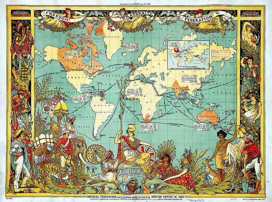
Imperial Federation Map of the World Showing the Extent of the British Empire in 1886 levelled

by MotionAge Designs
Title
Imperial Federation Map of the World Showing the Extent of the British Empire in 1886 levelled
Artist
MotionAge Designs
Medium
Painting - Digitally Enhanced And Restored Reproductions
Description
Imperial Federation Map of the World Showing the Extent of the British Empire in 1886 levelled
Uploaded
January 31st, 2013
Statistics
Viewed 4,289 Times - Last Visitor from Easton, MD on 04/24/2024 at 8:50 PM
Embed
Share
Sales Sheet
Tags


